Information about the project CV
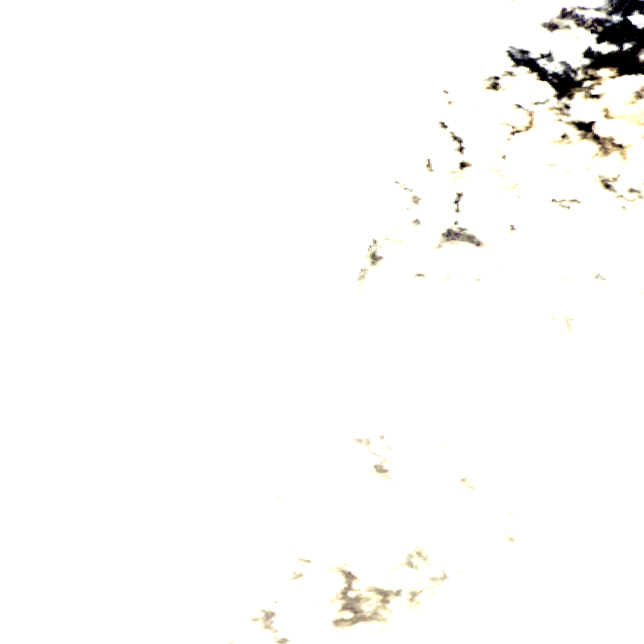
This project demonstrates the Computer Vision (CV) with the example of satellite data from Nasa API (https://api.nasa.gov/). The data is publicy available with a personal API key after registration. Since no recent data is available, an automated cron job was set up to call the API daily with the latest image 4 years ago. Another cron job will perform computer vision algorithms on the latest image using the OpenCV library. In Picture 1 an example image is displayed. The upper left part of the picture is broken and the lower right part is almost entirely covered with clouds.

Picture 1: A half broken satellite image.
An algorithm calculates the distinct colours in the picture and decides if it is entirely broken (distinct colors less or euqal than 400 and the upper left pixels are all white) or good enough. Then gamma correction and equalizing is performed on the pictures. The result can be seen on the home page. Additionally, an alogorithm transforms the picture to the HSV (Hue, Saturation, Value) color space and finds the number of pixel showing clouds in the specific color space from (0, 0, 50) to (255, 30, 255). The percentage of cloudy pixel is calculated and displayed on the main page.